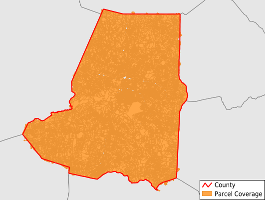
Wayne County
Parcel Data
Price: $200.00
Last Updated:
2024-Q3
Parcels in County:
69,437
Parcel data available to download as a GDB, GeoPackage, Shapefile, Excel, CSV, or Google Earth KML file.
All purchased data comes with six months of access, including any updates, at no additional cost.
Key attribute coverage for Wayne County
The percentage of Wayne County parcels containing the following key attributes:
Owner: 99.9%
Parcel Number: 100%
Acreage (Calculated): 100%
Site Address: 98.3%
Mailing Address: 99.9%
All available attributes in Wayne County
Parcel Number
Site Address
Owner
Transfer Date
Sale Price
Neighborhood Code
Acreage (calculated)
Perimeter
Municipality
School District
Zip Code
Flood Zone
Flood Zone Subtype
Census Tract
Census Block Group
Census Block
Total Market Value
Land Market Value
Building Market Value
Coowner
Mail Address1
Mail Address2
Mail Address3
Legal Desc1
Buildings
Addr Sec Unit Num
Place Gnis Code
Land Cover
Elevation
Owner Occupied
Robust Id
Usps Residential
Crop Cover
Acreage Adjacent With Sameowner
Municipalities Respresented in Wayne County
Brogden Township: 12,299
Buck Swamp Township: 4,441
Fork Township: 5,257
Goldsboro Township: 11,554
Grantham Township: 3,735
Great Swamp Township: 1,659
Indian Springs Township: 4,499
Nahunta Township: 3,224
New Hope Township: 7,885
Pikeville Township: 2,184
Saulston Township: 4,618
Stoney Creek Township: 8,082
Save money when you buy data in bulk
We offer discounted pricing on county and state downloads.